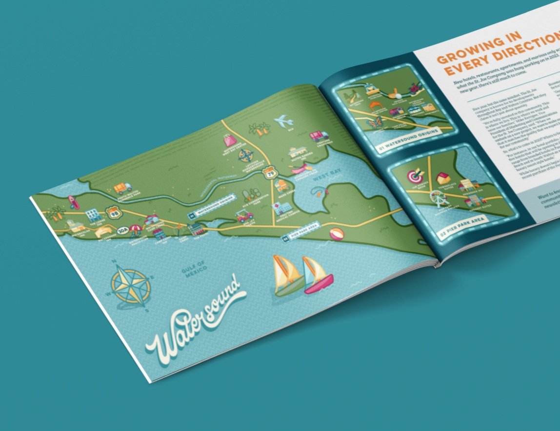
Watersound Illustrated Map
The St. Joe Company reached out to me interested in taking the first step in a big new direction— to start rebranding their various separate properties into one all-encompassing district known as simply as Watersound.
This initiative will take years to roll out overall as new holdings are under construction, but we decided to get the ball rolling with this initial icon-focused illustrated map of the area. For this project, I created over forty original, distinct icons representing St. Joe’s various properties, amenities, and the recreational draws of living in this area.
These standalone icons were then added to two versions of the area map, which I illustrated to include major highways, waterways, and land features pertinent to getting around in Watersound.
To top it all off, I also lettered a standalone wordmark to represent Watersound in a retro-made-modern way— featuring a unique ligature made to compliment the hand-drawn script.
These vector-based illustrations are each infinitely scaleable, and currently being implemented in digital and print formats by the design team at the St. Joe Company. I look forward to seeing how this illustration plays its part in the rebrand of the district!


